Saturday, September 29, 2012

Rt. 7 to Rowlesburg

  The weekend of September 15th, Naomi and I did a short overnight on the Allegheny Trail from Rt. 7 in Preston County near Terra Also, over Briery Mountain, to Rowlesburg.  We originally set out to go all the way to Erwin southeast of Rowlesburg, but I had to cut the trip short due to an outbreak of the crud.  Naomi was definitely a good sport about it.  
 I brought my pup, blue bear, with us.  she's a german shepherd mix, just over a year old.  she took surprising well to the new doggie saddle bags I got her.  unfortunately, her new gear left her a little chafed at the end of the hike.


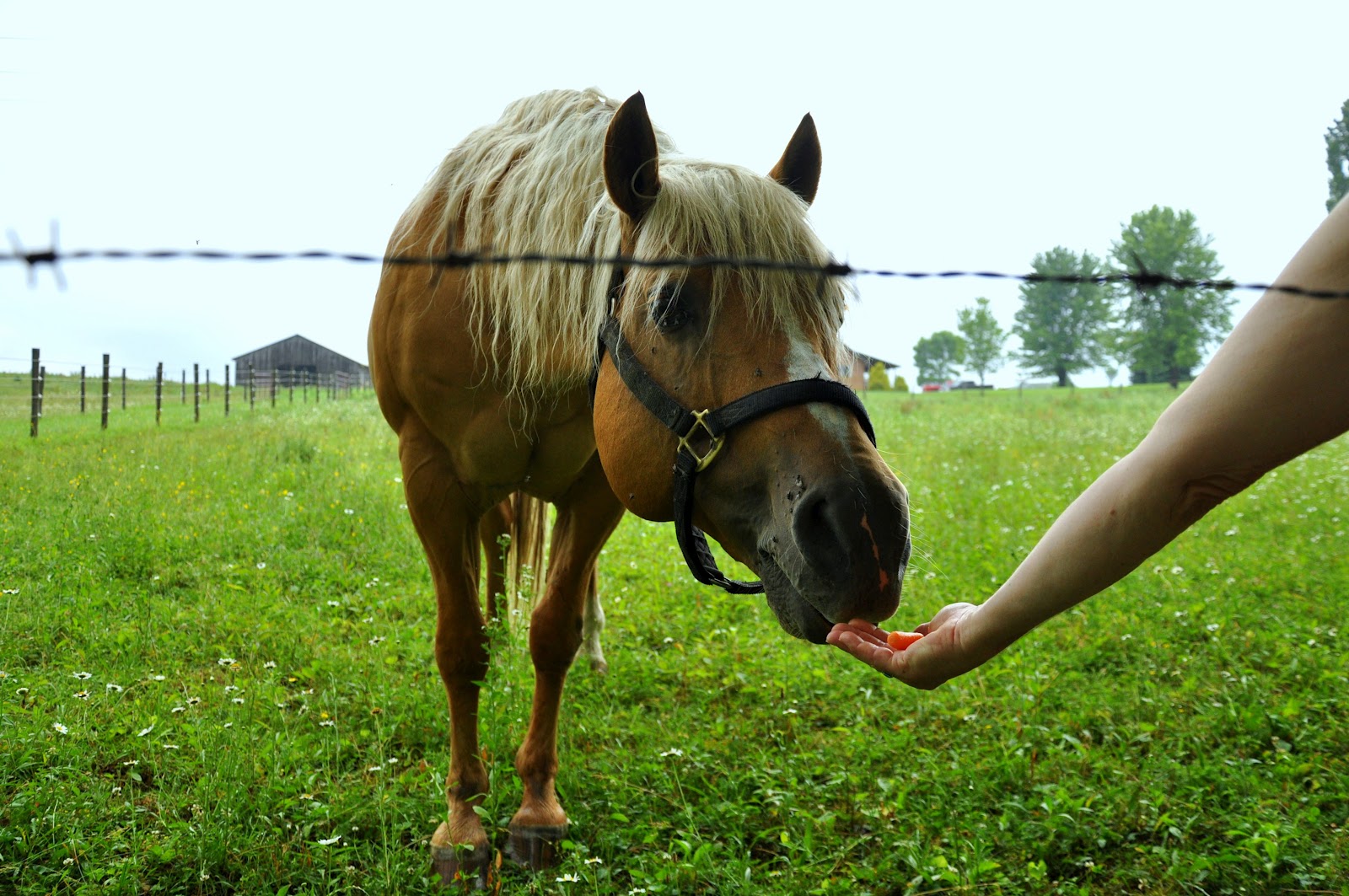
 So far, we've encountered a horse on each of the first two ALT treks.

 Yellow Blaze!

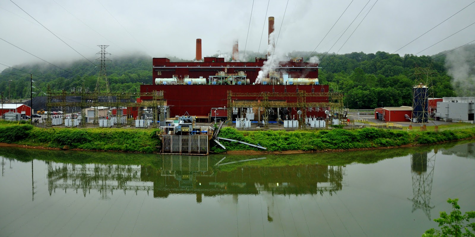
 Camped overnight at an undisclosed location near the newly expanded military reservation on briery mountain.  Well into the hike on our first day, we encountered a property owner who lives just east of briery mountain.  In fact, he runs a trout hatchery along the trail route.  He informed us that the trail was in the process of being rerouted away from the top of briery mountain and along the eastern side of it down to salt lick creek above Rowlesburg.  Unfortunately, while we were hiking, the reroute was not complete.  Taking our chance, we hiked the original route which took us through U.S. government property, through the military reservation and along the camping area of the Mountaineer Challenge Academy.  We encountered what appeared to be military personnel riding an ATV with a laptop affixed to the "hood" of the ATV.  He seemed to care very little that we were on government property.  Steve Shields with WV Scenic Trails Association says the reroute is underway and they expect it to be completed sometime in October.  If you hike this section, be sure to get the reroute description and map from the WV Scenic Trails Association website.
 We hiked on and camped beyond the military reservation and, as always, left no trace.
 The hike on the second day to Rowlesburg was nice and short and very pretty with early fall colors.


Wednesday, August 22, 2012

Albright Power Station Closing Down

Albright Power Plant - Albright, WV
(photo taken June 18, 2012 during ALT section hike)
The Albright power plant, built in 1952, is closing.  The plant situated along the banks of the mighty Cheat River is a landmark along the Allegheny Trail route.  For river rafters, the plant divided the milder, family friendlier section of the Cheat from Rowlesburg to Albright from the more dangerous rapids of the Cheat Canyon down stream. The plant is a coal burning "peaking facility."  In  February of 2011, several environmental groups, including WV Highlands Conservancy, WV Rivers Coalition, and Sierra Club of WV filed a lawsuit against MonPower over the high levels of coal waste (arsenic and mercury) into the Cheat River watershed.  The lawsuit has resulted in a settlement.  Citing the costs of complying with Mercury and Air Toxic Standards, First Energy decided to close three unscrubbed coal burning power plants in WV, Albright power plant, Willow Island, and Rivesville.  Only days before the scheduled closing, a coal ash silo collapsed at the Albright plant.  There was apparently some talk that the plant may be converted into a plant that burns biomas or natural gas, but it seems that the plant is just a dinosaur that's run its course.  The environmentalist in me is, of course, relieved to see such outdated and inefficient forms of power die out.  The humanist in me is concerned about the livelihoods of people in Preston County.  Warning: soapbox time.  If the politicians in this state could take the lumps of coal out of their collective ass and look toward updated and more efficient forms of energy, we could re-employ tens of thousands of WVians who have been stunted by the coal industry and revitalize hundreds of poverty stricken, drug infested ghost towns now serving as grave markers for the dying industry.  

Tuesday, July 10, 2012

The Allegheny Trail of WV


              The Allegheny Trail (ALT) is a 300ish mile N/S (or S/N depending at which end you start) trail that traverses WV, mainly through its eastern highlands, from the Mason-Dixon line on the WV/PA border about 6 miles north of Bruceton Mills, WV and a tad to the West.  The trail ends in Monroe County, West Virginia, the southern-most county, approximately 300 miles later.


                The  West Virginia Scenic Trails Association is a trail advocacy group and the primary caretaker of the Allegheny Trail.  Visit their website, donate, volunteer, get outside. 

              When I was a kid, about 30 years ago, my dad was very active with the West Virginia Scenic Trails Association and was always dragging me along on trail building/maintenance weekends.  This directly influenced my affinity for the outdoors, hiking and backpacking.   As a grown-ass woman, I am retracing many of my steps and section-hiking the entire route from North to South with my friend Naomi (a 68 year old rabble rouser) and any other sucker who says yes to an invite to join us some weekend.  

              Naomi and I conquered the first 32 miles the weekend of June 16-18, 2012.  We hiked from the northern terminus at the mason-dixon line to Rt. 7 near Terra Alta.  
this is an overview map of the first 32 miles of the Allegheny Trail heading north to south. 


               I took a bunch of pictures of our first leg, which was really a slow-paced tour through rural West Virginia.  We hiked through beautiful farmland and some wooded areas of Preston County from Bruceton Mills to Terra Alta. 
Naomi at the Mason-Dixon Trailhead at the northern terminus. 

beautiful preston county farmland just south of the mason-dixon trailhead


Mt. Grove Church.  

Naomi waiting for me to put my damn camera up.

impoundments along the trail.  

this is an old rundown one room school house.  the house is dilapidated but someone mows the yard.  interesting.

allegheny trail yellow blaze on I68 pier over the road to Pisgah off of Rt. 73

we camped the first night along big sandy.  if you went to wvu and drank beer, it's very likely you came out here to party.

heading out morning of day 2 of the first 32 miles.  day 1 we accomplished 11.6 miles with heavy packs and still felt pretty good the morning of day 2.

the bridge crossing at big sandy.  notice the allegheny trail blaze.  

big sandy morning. 

big farm on mountain above big sandy just before mt. nebo.  think the dog is in charge? 

guess again

mt. nebo baptist church.  the church sign was full of bird shot.

hickory grove road.

this barn belonged to a very nice family on hickory grove road who let us fill up with their chlorinated water.  the water was otherwise untreatable acid mine drainage. 

acid mine drainage along hickory grove road above cheat canyon and the town of albright.  

small church on beech run road just before descending into albright along the mighty cheat river

we spent night 2 at cheat canyon campground just outside of albright.  the little exxon in town had one decent selection of beer.  thankfully.  the night was dark and full of terrors in the form of several passing thunderstorms.  by morning, the rain had stopped and it was nice and cool.

beautiful cheat river on the morning of day 3

albright powerplant.  

top of daugherty run.  this area is very close to the reclaimed roaring creek strip mine.  it's very beautiful farmland.  on a clear day, you can see kingwood from this perch.

naomi fed this very friendly horse some of our carrots.

these cute little buggers were out by the dozens in the damp and steamy morning.

this looks out over a very impressive and long hollow we just hiked up.  about half a dozen streams drained into this hollow.  much of the trail on the way up was literally through the creek bed of the main creek.  treacherous to say the least, but fun nevertheless. 

beautiful preston county farmland ridge.  just over this ridge is our car at the take out spot.  32 miles down, 268 to go.  stay tuned.